|
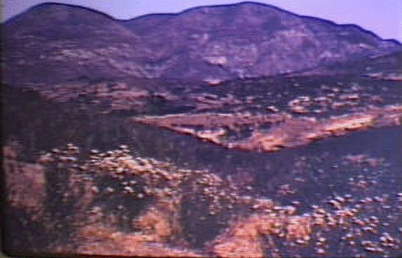
Looking to the east from a hill in Torrey Pines State Reserve, we notice many flat surfaces. The flat area in the foreground is the Linda Vista Terrace. What forces do we know which might level a surface like this?
|
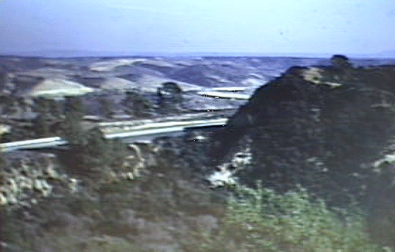 |
| It is believed that these terraces were cut level by wave action. | 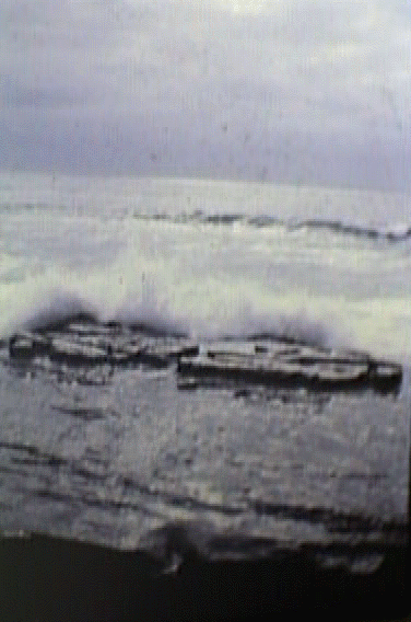 |
| Looking to the west we see evidence of less developed wave cut terraces at lower elevation. What does this seem to imply? Other examples of wave cut terraces are seen in parts of the San Dieguito Area. Can you identify any? | 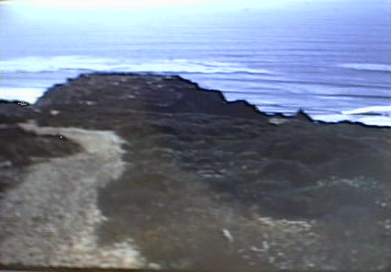 |
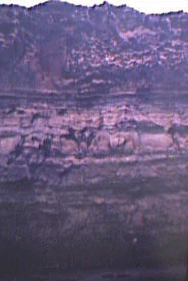
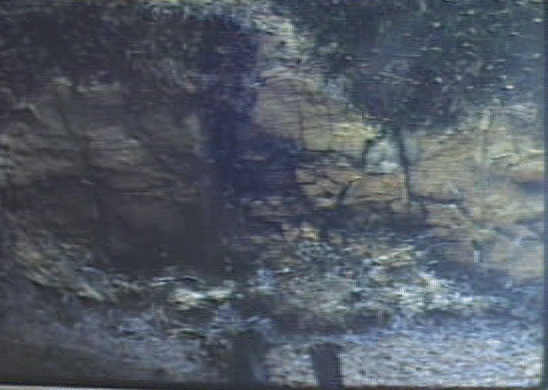
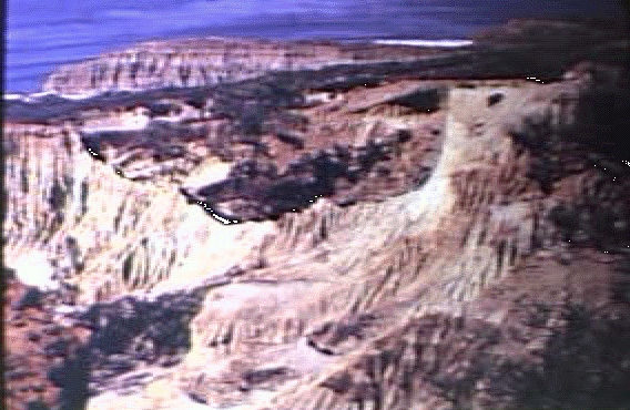
| In this area we can see only three of the formations. Together they are called the La Jolla Group. The members are the greenish Del Mar Formation on the bottom, The yellow Torrey Sandstone... | 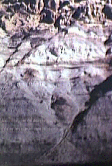 |
| directly above it and the reddish Sweitzer Formation being uppermost. | 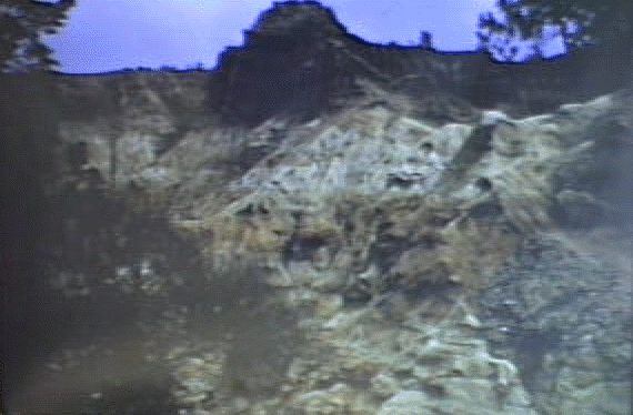 |
|
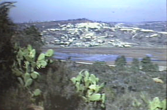
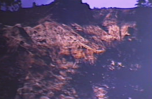
Within the Linda Vista Terrace, we find many different sedimentary rock formations beneath the surface. These sedimentary deposits along the coast contrast sharply with the volcanics further east. |
 |
| The Del Mar Formation, found outcropping extensively near the town of Del Mar, consists of a green to blue-grey sandstone to siltstone to shale. |
 |
|
It was deposited in shallow brackish lagoons such as those which exist in the area today. |
 |
| Within parts of this formation fossils are found. | 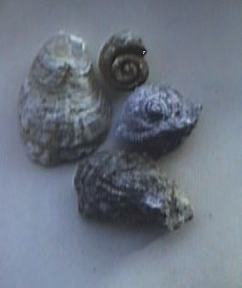 |
| Giving a further clue as to conditions which existed when the sediment was de-posited. | 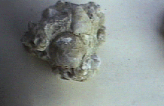 |
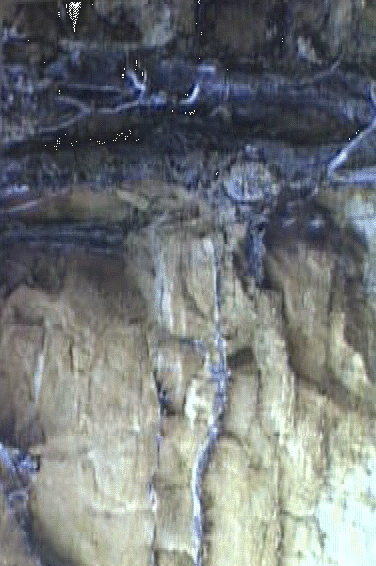
| This formation grades slowly into the yellowish Torrey Sandstone above it. Note the evidence of a fluctuating changing environment. | 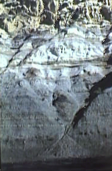 |
| A close look at this Torrey Sandstone tells us a lot about the conditions existing at the time of its deposition. | 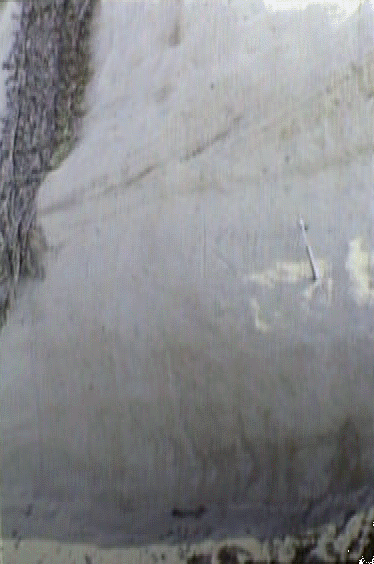 |
| Do you notice anything? The distinctive layering which can be seen is cross-bedding, a phenomena of dune or wind blown sand. | 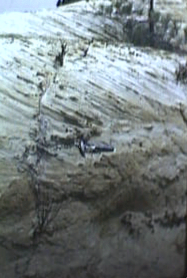 |
| As seen in the deserts to the east. | 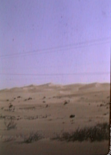 |
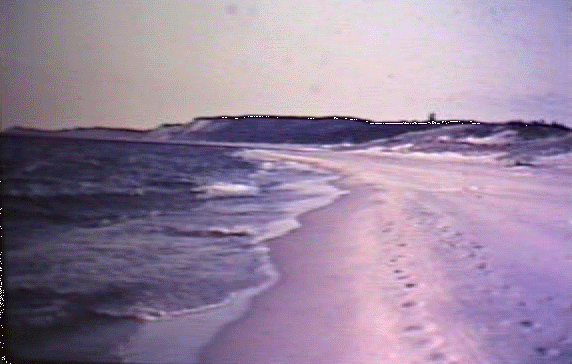
|
Or along some beaches. It is believed that the sands in the Torrey Sandstone once made up part of a barrier beach separating the ocean and an inward lagoon. |
 |
| In places concretions of high iron content can be seen. These were probably caused by a small impurity in the sand which changed the chemical structure of its surroundings during lithification. | 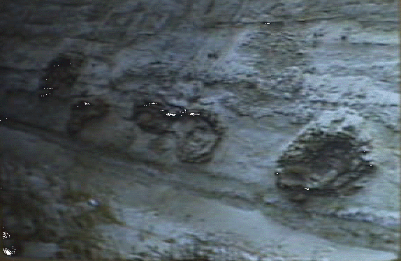 |
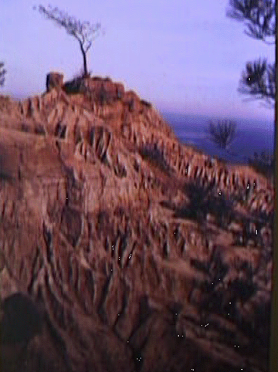
| Notice how the sandstone weathers. High ridges are left in spots which seem to be more resistant. | 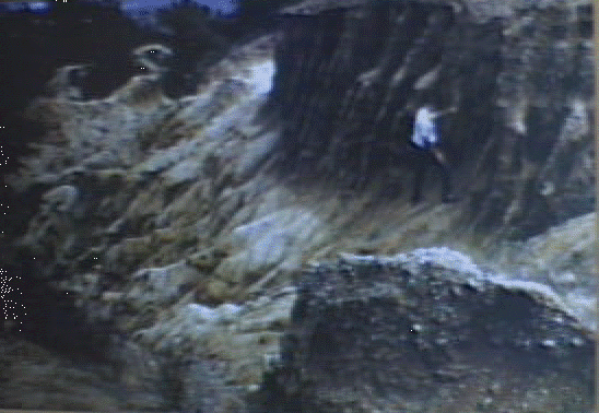 |
| This condition is found in semi-arid climates where there is little or sparse vegetation to cover the soil and rock. This type of differential erosion has been given the name, badlands topography. | 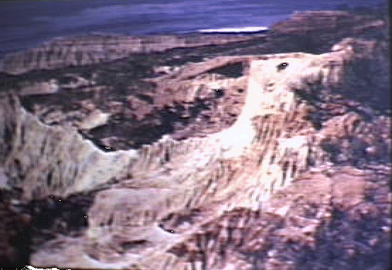 |
|
Weathering by water is aided in many places by mechanical, biological and chemical means. Here you can see a root of a Torrey Pine breaking the rock by mechanical means. |
 |
|
As material from the tree dies and decays acid is produced which further breaks down the rock. |
 |
|
It is interesting to note that the Torrey Pine of this area grows much better in the Torrey Sandstone than in the formations above or below it. This is due to the fact that the Torrey Sandstone is more porous than the other two formations, and the Torrey Pine cannot stand much water on its roots. This is also an example of how geologists can many times use vegetation to determine rock or soil types in a given area. |
 |
|
Note that the tree in the reddish Sweitzer Formation is dying. |
 |
| The uppermost member of the La Jolla Group is the Sweitzer Formation, recognized by its reddish color and sitting unconformably upon the Torrey Sandstone. |  |
|
This unconformity represents a time gap of 40 million years which is not recorded in the rock of this area. |
 |
| Note the conglomerate in the reddish sandstone in the foreground. This is typical of the Sweitzer Formation. The red color is caused by a high iron content. | 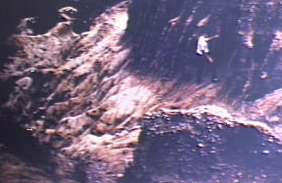 |
| As this sandstone weathers, the iron oxide forms into small nodules which are I on the surface as the surrounding sand is blown away. | 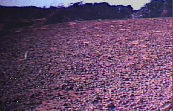 |
| Another phenomena of weathering found in the Sweitzer Formation are mudcracks like these which extend down to a foot or two. These result from leeching and re-cementing of the sandstone as water passes thru it. | 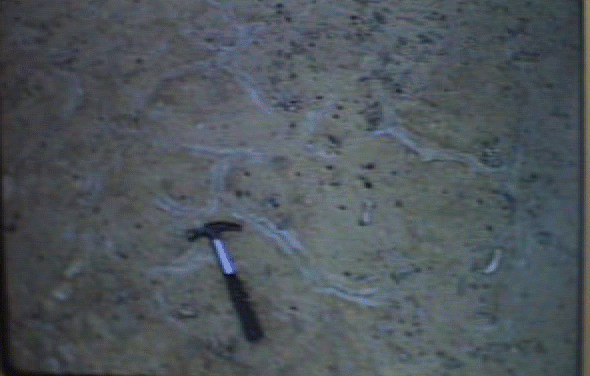 |